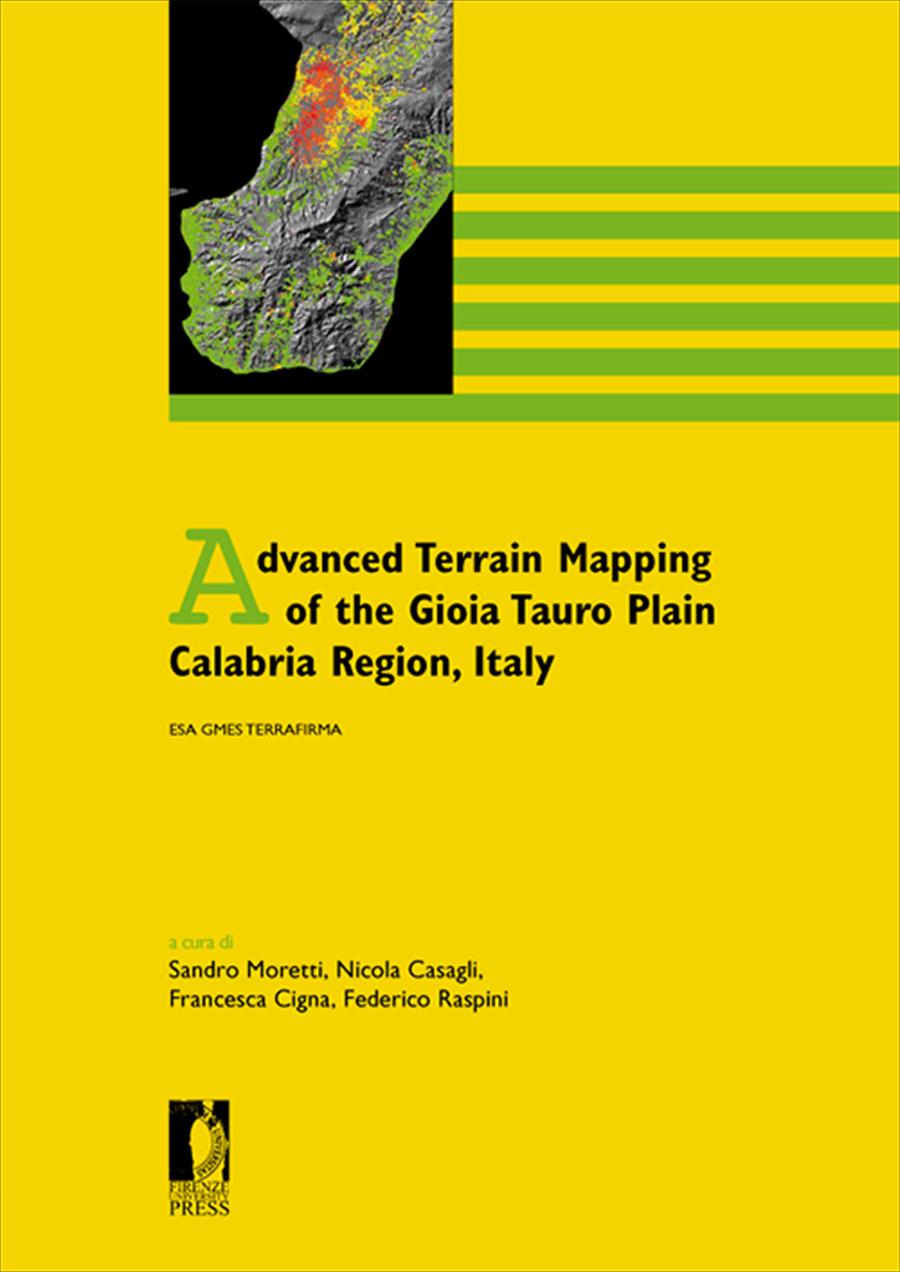
Advanced Terrain Mapping of the Gioia Tauro Plain Calabria Region, Italy
ESA GMES Terrafirma
- A cura di:
- Federico Raspini,
- Francesca Cigna,
- Sandro Moretti,
- Nicola Casagli,
In the framework of the Terrafirma project, Persistent Scatterers Interferometry (PSI) has be used for mapping land subsidence at basin scale in Gioia Tauro plain (Italy).
The investigated area is built over unconsolidated fine-grained sediments, where the increasing groundwater demands for irrigation have caused the natural sediment consolidation to progressively accelerate.
Both historical (1992-2001; ERS1/2 images) and recent (2002-2006; ENVISAT images) scenarios are analyzed to solve the spatial variability and temporal evolution of ground displacements affecting the plain. The results show deformation rates as high as 10-12 mm/yr in 1992-2007, with highest velocities occurred between 1992 and 2000 within the central part of the basin, in the area of Rizziconi (5 km ESE of Gioia Tauro).
The outcomes of this PSI study could support the future improvement of groundwater management and the implementation of best strategies for land use planning and sustainable use of groundwater resources.
- DOI: 10.36253/978-88-6655-022-8
- Collana: Proceedings e report
- Comitato scientifico: Consiglio Editoriale FUP 2010-2016
- Lingua: Inglese
- Argomento: Geologia
- Download PDF
-

- © 2011 Author(s)
- CC BY-ND 3.0 IT
University of Florence, Italy
University of Florence, Italy - ORCID: 0000-0001-8134-1576
University of Florence, Italy - ORCID: 0000-0002-1167-2721
University of Florence, Italy - ORCID: 0000-0002-8684-7848
of Firenze, Italy, federico.raspini@unifi.it
Francesca Cigna, Postdoctoral Researcher, Department of Earth Sciences,
University of Firenze, Italy, francesca.cigna@unifi.it
Sandro Moretti, Professor of Environmental Geology, Department of Earth
Sciences, University of Firenze, Italy, sandro.moretti@unifi.it
Nicola Casagli, Professor of Engineering Geology, Department of Earth
Sciences, University of Firenze, Italy, nicola.casagli@unifi.it
- Anno di pubblicazione: 2011
- Pagine: 29
- eISBN: 978-88-6655-022-8
- Licenza d'uso: CC BY-ND 3.0 IT
- © 2011 Author(s)
- Anno di pubblicazione: 2011
- eISBN: 978-88-9273-632-0
- Licenza d'uso: CC BY-ND 3.0 IT
- © 2011 Author(s)
Informazioni bibliografiche
Titolo del libro
Advanced Terrain Mapping of the Gioia Tauro Plain Calabria Region, Italy
Sottotitolo del libro
ESA GMES Terrafirma
Curatori
Federico Raspini, Francesca Cigna, Sandro Moretti, Nicola Casagli
Opera sottoposta a peer review
Anno di pubblicazione
2011
Copyright
© 2011 Author(s)
Licenza d'uso
Licenza dei metadati
Editore
Firenze University Press
DOI
10.36253/978-88-6655-022-8
eISBN (pdf)
978-88-6655-022-8
eISBN (xml)
978-88-9273-632-0
Collana
Proceedings e report
ISSN della collana
2704-601X
e-ISSN della collana
2704-5846
Download dei libri
Visualizzazioni
Salva la citazione
Libri consigliati