
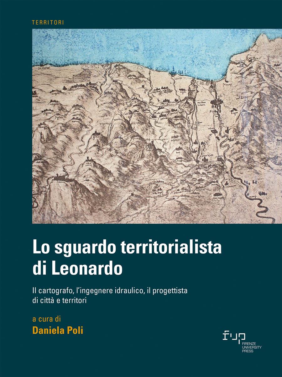
- Lo sguardo territorialista di Leonardo
- Edited by Daniela Poli
Da Firenze al mare: Leonardo e l’Arno tra ingegneria idraulica e visione territoriale
- Michela Chiti
- Stefano Pagliara
- © 2023 Author(s) |
- CC BY 4.0
- DOI: 10.36253/978-88-5518-514-1.17
The vision related to the territorial project of the navigable canal, which was supposed to connect the cities of Florence, Prato and Pistoia and, passing through the Nievole Valley, reach the Arno and then the sea, stems from the study of some drawings by Leonardo da Vinci, dating from around 1503-1504. The article retraces the reading of the various signs found, in which there appears to be a mixture between the dimension of cartographic survey and the project idea, in a dialectic between territorial potential and criticalities, according to the multidisciplinary approach to territorial science that was explored by Leonardo.
- Keywords:
- Leonardo da Vinci,
- territorial science,
- multidisciplinary approach,
- navigable canal,
- Leonardo’s cartography,
University of Florence, Italy - ORCID: 0000-0002-8827-9565
University of Pisa, Italy - ORCID: 0000-0002-9025-4658
- Benigni P., Ruschi P. (2015), “Brunelleschi e Leonardo, l’acqua e l’assedio”, in Barsanti R. (a cura di), Leonardo e l’Arno, Pacini, Pisa, pp. 99-129.
- Benvenuti A.(1996), Da Pisa alle Foci d’Arno nel Medioevo, Pacini, Pisa.
- Borghi L. (1966), “Interrogativi sull’ubicazione dell’antico porto di Pisa romana e dei primi secoli della Repubblica marinara”, Rassegna, Comune di Pisa, n. 2, pp. 8-12.
- Ferretti E., Turrini D. (2010), Navigare in Arno. Acque, uomini e marmi tra Firenze e il mare in Età Moderna, Edifir, Firenze.
- Gattiglia G. (2013), MAPPA. Pisa medievale: archeologia, analisi spaziali e modelli predittivi, Nuova Cultura, Roma.
- Gille B. (1972), Leonardo e gli ingegneri del Rinascimento, Feltrinelli, Milano.
- Isola M. (2016), Il Fiume Arno. Storia sconosciuta della mitigazione delle piene, s.n., s.l..
- Mazzanti R. (1986), Terre e paduli: reperti, documenti, immagini per la storia di Coltano, Bandecchi & Vivaldi, Pisa.
- Pagliara S., Lencioni L. (2020), Evoluzione idraulica del litorale pisano dal periodo romano al 2100, Pisa University Press, Pisa.
- Rinaldi M., Simon A.(1998), “Bed-level adjustments in the Arno River, central Italy”, Geomorphology, vol. 22, n. 1, pp. 57-71.
- Starnazzi C. (2003), Leonardo cartografo, Istituto Geografico Militare, Firenze.
- Toscanelli N. (1934), Pisa nell’antichità, vol. 1, Nistri-Lischi, Pisa.
Chapter Information
Chapter Title
Da Firenze al mare: Leonardo e l’Arno tra ingegneria idraulica e visione territoriale
Authors
Michela Chiti, Stefano Pagliara
Language
Italian
DOI
10.36253/978-88-5518-514-1.17
Peer Reviewed
Publication Year
2023
Copyright Information
© 2023 Author(s)
Content License
Metadata License
Bibliographic Information
Book Title
Lo sguardo territorialista di Leonardo
Book Subtitle
Il cartografo, l’ingegnere idraulico, il progettista di città e territori
Editors
Daniela Poli
Peer Reviewed
Number of Pages
270
Publication Year
2023
Copyright Information
© 2023 Author(s)
Content License
Metadata License
Publisher Name
Firenze University Press
DOI
10.36253/978-88-5518-514-1
ISBN Print
978-88-5518-513-4
eISBN (pdf)
978-88-5518-514-1
eISBN (xml)
978-88-5518-515-8
Series Title
Territori
Series ISSN
2704-5978
Series E-ISSN
2704-579X