
- Lo sguardo territorialista di Leonardo
- Edited by Daniela Poli
Leonardo negli studi ottocenteschi sulla cartografia delle Alpi
- Elena Gianasso
- © 2023 Author(s) |
- CC BY 4.0
- DOI: 10.36253/978-88-5518-514-1.10
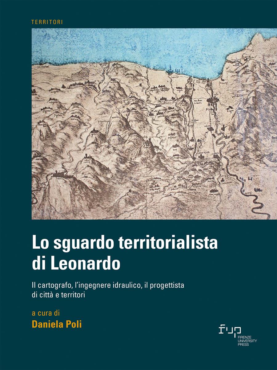
Leonardo’s manuscripts contain many quotes of ‘his’ Western Alps, well-known mountains sketched, with lakes, rivers and towns, creating outstanding territorial readings. In the 19th century, he became a turning point between medieval representation techniques and the great cartographic reform of the 16th century. Leonardo’s approach to territorial drawing, his evolutionary theories on the history of the Earth, his measuring and survey instruments, his calculation of mountains altitudes can be compared to subsequent maps confirming, , with ideal overlaps, the crystal clear anticipations of the ‘Grande di Vinci’.
- Keywords:
- Leonardo,
- Western Alps,
- cartography,
- applied sciences,
University of Turin, Italy - ORCID: 0000-0002-9755-7862
- Calvi G. (1909), Il Codice di Leonardo da Vinci nella Biblioteca di Lord Leicester in Holkham Hall, Cogliati, Milano.
- Camerota F. (2018), “La scienza delle acque e i suoi “giovamenti”: le carte idrografiche della Toscana”, in Galluzzi P. (a cura di), L’acqua microscopio della natura. Il Codice Leicester di Leonardo da Vinci, Giunti, Firenze, pp. 98-115.
- Coolidge W.A.B. (1889), Swiss travel and Swiss guide books, Longmans, Green & Co., London.
- De Toni N. (1966), I rilievi cartografici di Leonardo per Cesena e Urbino contenuti nel Manoscritto L dell’Istituto di Francia. V Lettura Vinciana (Vinci, Biblioteca Leonardiana, 15 Aprile 1965), G. Barbera Editore, Firenze.
- Di Teodoro F.P. (1997), “Leonardo e le Alpi Occidentali / Léonard de Vinci et les Alpes Occidentales”, in Comoli V., Fasoli V., Very F. (a cura di), Le Alpi storia e prospettiva di un territorio di frontiera / Les Alpes histoire et perspectives d’un territoire transfrontalier, Celid, Torino, pp. 89-95.
- Freshfield D.W. (1884), “The Alpine Notes of Leonardo da Vinci”, Proceedings of the Royal Geographical Society and Monthly Record of Geography, n. 6, pp. 335-340.
- Galluzzi P. (2006 - a cura di), La mente di Leonardo. Nel laboratorio del Genio Universale, Giunti, Firenze.
- Laurenza D. (2018), “La geologia nel Codice Leicester”, in Galluzzi P. (a cura di), L’acqua microscopio della natura. Il Codice Leicester di Leonardo da Vinci, Giunti, Firenze, pp.154-169.
- Pedretti C. (1957), Studi vinciani. Documenti, analisi, inediti leonardeschi, Droz, Genève.
- Ravaisson-Mollien C. (1881), Les éscrit de Léonard de Vinci, Quantin, Paris.
- Recalcati A. (2020), Sulle Alpi con Leonardo, Club Alpino Italiano, Milano.
- Richter J.P. (1883), The literary works of Leonardo da Vinci, Sampson Low, Marston, Serale & Rivinton, London.
- Starnazzi C. (2003), Leonardo cartografo, Istituto Geografico Militare, Firenze.
- Uzielli G. (1890), “Leonardo da Vinci e le Alpi”, Bollettino del Club Alpino Italiano per l’anno 1889, pp. 81-156.
- Vecce C. (2017), La biblioteca perduta. I libri di Leonardo, Salerno Editrice, Roma.
Chapter Information
Chapter Title
Leonardo negli studi ottocenteschi sulla cartografia delle Alpi
Authors
Elena Gianasso
Language
Italian
DOI
10.36253/978-88-5518-514-1.10
Peer Reviewed
Publication Year
2023
Copyright Information
© 2023 Author(s)
Content License
Metadata License
Bibliographic Information
Book Title
Lo sguardo territorialista di Leonardo
Book Subtitle
Il cartografo, l’ingegnere idraulico, il progettista di città e territori
Editors
Daniela Poli
Peer Reviewed
Number of Pages
270
Publication Year
2023
Copyright Information
© 2023 Author(s)
Content License
Metadata License
Publisher Name
Firenze University Press
DOI
10.36253/978-88-5518-514-1
ISBN Print
978-88-5518-513-4
eISBN (pdf)
978-88-5518-514-1
eISBN (xml)
978-88-5518-515-8
Series Title
Territori
Series ISSN
2704-5978
Series E-ISSN
2704-579X