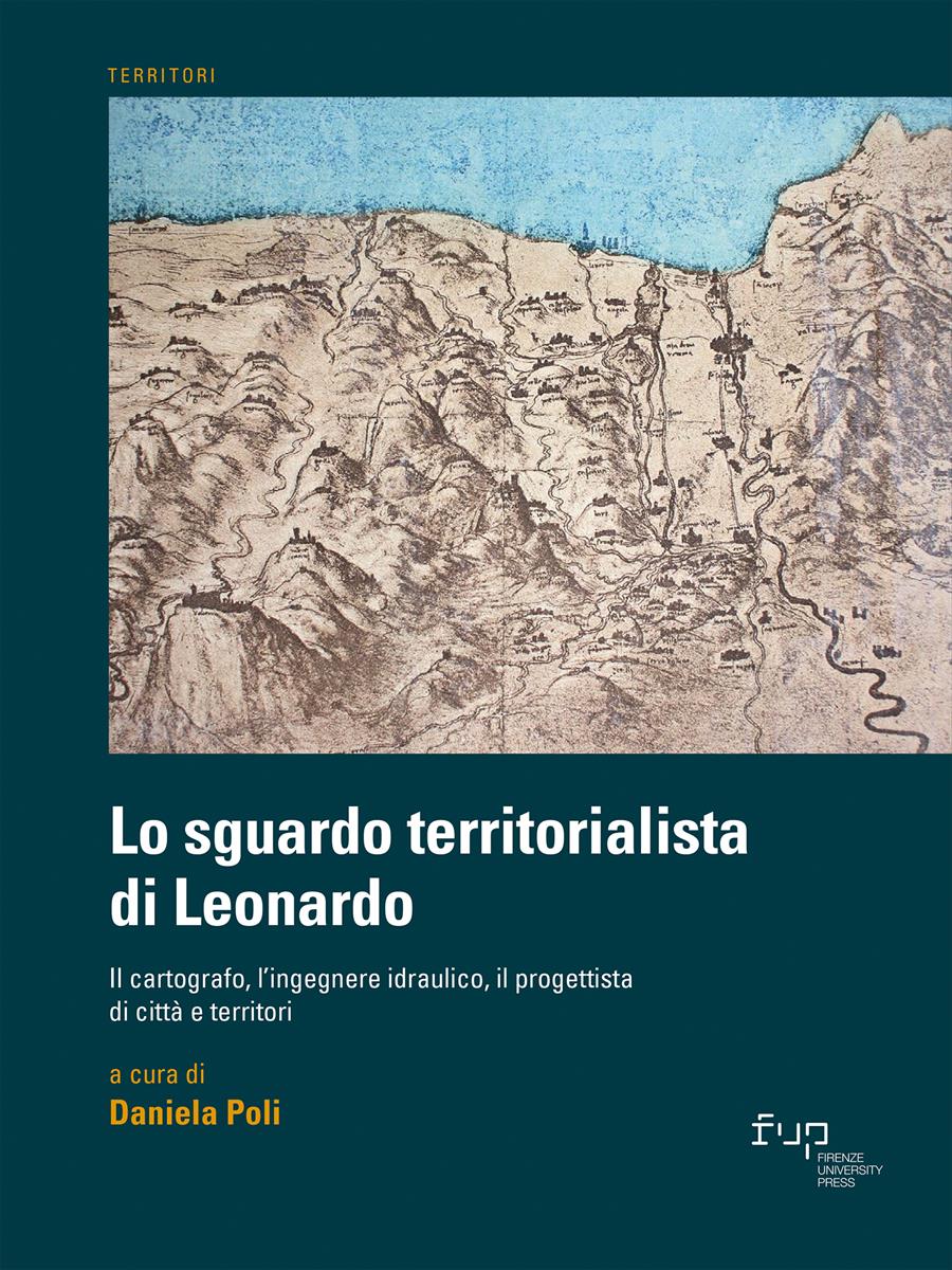
- Lo sguardo territorialista di Leonardo
- Edited by Daniela Poli
L’Arno al tempo di Leonardo, fra geomorfologia e geografia storica: un’analisi diacronica
- Tania Salvi
- © 2023 Author(s) |
- CC BY 4.0
- DOI: 10.36253/978-88-5518-514-1.18
The chapter offers a methodology to reconstruct the structure of the Arno course, between Empoli and the mouth, at the beginning of the 16th century. Various documentary deposits have been used: analysis of geological information, to define the palaeochannels structure; historical sources; post-Leonardian historical cartography and a stratified bibliography to create information for geo-referencing Leonardo’s documents. This is compared with Leonardo's drawings (Windsor and Madrid), ca. 1503-1504, offers an unprecedented picture of the territorial structure of the river.
- Keywords:
- Arno,
- palaeochannels,
- Leonardo da Vinci,
- historical cartography,
- geomorphology,
University of Florence, Italy - ORCID: 0000-0002-0652-1873
- Caciagli G. (1969), “Rettifiche e varianti del basso corso dell’Arno in epoca storica”, L’Universo, vol. 49, n. 4, pp. 133-164.
- Ferretti E. (2019), “Fra Leonardo, Machiavelli e Soderini. Ercole I d’Este e Biagio Rossetti nell’impresa ‘del volgere l’Arno’ da Pisa”, Archivio Storico Italiano, vol. 177, n. 2, pp. 235-272.
- Mazzanti R. (1994), La pianura di Pisa e i rilievi contermini, Società Geografica Italiana, Roma.
- Pardi F. (1995), “Alluvioni e meandri”, Bollettino del Dipartimento di Urbanistica e Pianificazione del Territorio, Università di Firenze, n. 1/1995, pp. 58-63.
- "Piccardi M., Pranzini E. (2014), “Carte a piccola, grande e grandissima scala negli studi sull’evoluzione del litorale. Cosa è successo a Bocca d’Arno tra il XVI e il XIX secolo?”, L'Universo, vol. 5, pp. 8-38".
- Piccardi M., Pranzini E. (2016), “Le foci del Serchio e del Fiume Morto nelle restituzioni cartografiche pre-geodetiche”, Studi Costieri, n. 23, pp. 21- 58.
- Rösener W. (2018), I contadini nella storia d’Europa, Laterza, Bari-Roma. Santini P. (2016), “Arno Vecchio e il ‘taglio’ di Limite. Storia e vicende di una grande opera medicea”, Quaderni dell’Archivio Storico Empolese, vol. 6, n. 6, pp. 49-60.
- Targioni Tozzetti G. (1768-1779), D’alcuni viaggi vatti in diverse parti della Toscana per osservare le produzioni naturali, e gli antichi monumenti di essa, Cambiagi, Firenze.
- Vaccari O. (2009), “Acque navigate: da Pisa a Livorno. Secoli XII-XVI”, Storia Urbana, vol. 32, n. 125, pp. 81-99.
Chapter Information
Chapter Title
L’Arno al tempo di Leonardo, fra geomorfologia e geografia storica: un’analisi diacronica
Authors
Tania Salvi
Language
Italian
DOI
10.36253/978-88-5518-514-1.18
Peer Reviewed
Publication Year
2023
Copyright Information
© 2023 Author(s)
Content License
Metadata License
Bibliographic Information
Book Title
Lo sguardo territorialista di Leonardo
Book Subtitle
Il cartografo, l’ingegnere idraulico, il progettista di città e territori
Editors
Daniela Poli
Peer Reviewed
Number of Pages
270
Publication Year
2023
Copyright Information
© 2023 Author(s)
Content License
Metadata License
Publisher Name
Firenze University Press
DOI
10.36253/978-88-5518-514-1
ISBN Print
978-88-5518-513-4
eISBN (pdf)
978-88-5518-514-1
eISBN (xml)
978-88-5518-515-8
Series Title
Territori
Series ISSN
2704-5978
Series E-ISSN
2704-579X
