
- Lo sguardo territorialista di Leonardo
- Edited by Daniela Poli
Il paesaggio di Leonardo. Fonti cartografiche e iconografiche
- Margherita Azzari
- Camilo Berti
- Silvia Leporatti
- © 2023 Author(s) |
- CC BY 4.0
- DOI: 10.36253/978-88-5518-514-1.09
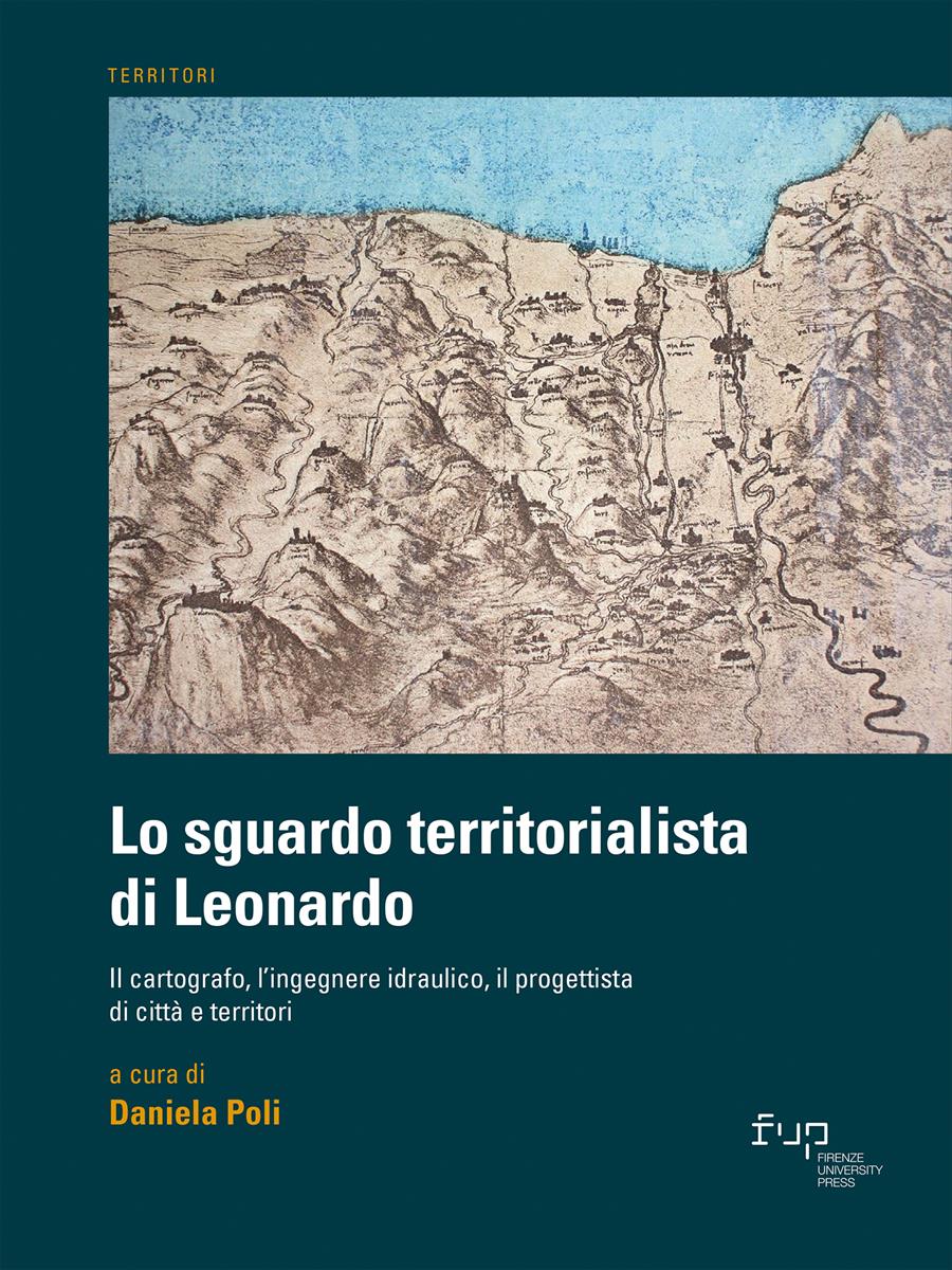
Leonardo’s maps are to be analysed not only in relation to all his works, but also in the context of the cartography between the second half of the 15th century and the early 16th century and the techniques of so-called vedutismo pittorico. The aim of the contribution is to highlight – through a series of case studies – the potential of Leonardo's maps as sources for the reconstruction of the historical landscape. The research, starting from some of the maps produced by Leonardo, focused on two of the strands that appeared to be most significant: how to georeference Leonardo’s maps in a GIS environment; topographical analysis aimed at recognising main population centres and road network.
- Keywords:
- Leonardo da Vinci,
- cartography,
- GIS,
- historical landscape,
- topographical analysis,
University of Florence, Italy - ORCID: 0000-0001-6465-4271
University of Florence, Italy - ORCID: 0000-0002-6414-5853
University of Florence, Italy
- Alberti A. (2012), Medioevo in Valdera, Tipografia Bongi, San Miniato.
- Alberti A., Baldassarri M. (2006), “Le ‘terre nuove’ del Valdarno pisano: il contributo della fonte archeologica”, in Francovich R., Valenti M. (a cura di), Atti del IV Congresso Nazionale di Archeologia Medievale (Chiusdino, 26-30 Settembre 2006), All’Insegna del Giglio, Firenze, pp. 251-256.
- Azzari M. (1993), “Il rinnovamento della cartografia a grande scala in Toscana tra Quattrocento e Cinquecento. Indicazioni di ricerca e primi risultati”, Rivista Geografica Italiana, vol. 100, n. 2, pp. 271-290.
- Azzari M. (2010), “Prospettive e problematiche d’impiego della cartografia del passato in formato digitale”, Bollettino dell’Associazione Italiana di Cartografia, n. 138, pp. 217-224.
- Bitelli G., Gatta G. (2007), “Esperienze di georeferenziazione ed elaborazione digitale di una carta di Bologna del ’700”, in Atti della 11a Conferenza nazionale ASITA (Torino, 6-9 Novembre 2007), ASITA, Milano, pp. 415-420, <http://atti.asita.it/Asita2007/Pdf/256.pdf>.
- Broc N. (1989), La geografia del Rinascimento, a cura di C. Greppi, Modena, Panini, 1989.
- Caleca A., Mazzanti R. (1982), “Le carte del Valdarno Inferiore e della Toscana marittima di Leonardo da Vinci”, Bollettino della Società Geografica Italiana, serie 10, n. 11, pp. 691-719.
- Cantile A. (2019 - a cura di), Leonardo genio e cartografo. La rappresentazione del territorio tra scienza e arte, Istituto Geografico Militare, Firenze (ed. or. 1993).
- Ceccarelli Lemut M. L., Garzella G. (2005), Terre nuove nel Valdarno pisano medievale, Pacini, Pisa.
- Cionini E. (1994), “Il castello di Montevaso. Una prima indagine archeologica”, in Agostini C., Iannella C., Tangheroni M. (a cura di), La comunità di Chianni. Momenti di storia, ETS, Pisa, pp. 1-22.
- Galli R. (1983), Volterra iconografica, Cassa di Risparmio di Volterra, Pisa.
- Grava M., Berti C., Gabellieri N., Gallia A. (2020), Historical GIS. Strumenti digitali per la geografia storica in Italia, Edizioni Università di Trieste, Trieste.
- Guidoni Guidi G. (1987), “Scavi sull’insediamento medioevale di Rocca Sillana (Pomarance, Pisa). Relazione preliminare (1985-86)”, Archeologia Medievale, n. 14, pp. 266-276.
- Leverotti F. (1989), “Trasformazioni insediative nel Pisano alla fine del Trecento”, Archeologia Medievale, n. 16, pp. 243-262.
- Mastronunzio M. (2010), “Analisi dell’accuratezza geometrica della cartografia storica a grande scala. L’evoluzione della rappresentazione dell’alveo dell’Adige”, in Atti della 14a Conferenza nazionale ASITA (Brescia, 9-12 Novembre 2010), ASITA, Milano, pp. 1311-1316, <http://atti.asita.it/ASITA2010/Pdf/362.pdf>.
- Morelli P. (2005), “Ponsacco”, in Ceccarelli Lemut M.L., Garzella G. (a cura di), Terre nuove nel Valdarno pisano medievale, Pacini, Pisa, pp. 107-115.
- Morelli P. (2005a) “Pontedera ‘terra nuova’ pisana”, in Id., Andreazzoli F., Marsili A., Le fortificazioni medievali di Pontedera, Tagete, Pontedera, pp. 11-40.
- Museo Galileo (2018-2021), La Toscana di Leonardo, <https://www.latoscanadileonardo.it/it/>.
- Nigro L. (1997), “Il sistema difensivo”, in Dringoli M (a cura di), La frontiera, la campagna, il mare. Pietracassa, Ripoli, il Volterraio: analisi e recupero di tre strutture fortificate a difesa dell’antica Repubblica Pisana, Pacini, Pisa, pp. 80-89.
- Pasquinucci M., Menchelli S. (2001), “Le mura etrusche di Volterra”, in Quilici L., Quilici Gigli S. (a cura di), Fortificazioni antiche in Italia. Età repubblicana, L’Erma di Bretschneider, Roma, pp. 39-53.
- Pasquinucci M., Menchelli S., Benvenuti V. (2002), “Progetto mura antiche e medievali. Porte, postierle e viabilità connessa”, Quaderno del Laboratorio volterrano, n. 5 [2000-2001], pp. 57-74.
- Pescaglini Monti R. (1994), “Dalla Valdera alla Valdisola”, in Mazzanti R. (a cura di) La pianura di Pisa e i rilievi contermini. La natura e la storia, Società Geografica Italiana, Roma, pp. 293-326.
- Redi F. (2018), “Le fortificazioni medievali e brunelleschiane di Vicopisano nella storia e nell’archeologia”, in Ciampa M. (a cura di), Le fortificazioni di Vicopisano, Pacini, Pisa, pp. 17-40.
- Rombai L. (1992), Alle origini della cartografia toscana. Il sapere geografico nella Firenze del Quattrocento, Istituto Interfacoltà di Geografia dell’Università di Firenze, Firenze.
- Rombai L. (2003), “La nascita e lo sviluppo della cartografia”, in Id. (a cura di), Imago et descriptio Tusciae. La Toscana nella geocartografia dal XV al XIX secolo, Giunta Regionale Toscana - Marsilio, Venezia, pp. 83-159.
- Rombai L. (2010), “Le problematiche relative all’uso della cartografia storica”, Bollettino dell’Associazione Italiana di Cartografia, n. 138, pp. 69-89.
- Ronzani M. (1995), “San Marco nei secoli XII-XIV: la chiesa, il borgo e il territorio parrocchiale”, in Sodi S. (a cura di), Pisa fuori le mura. La chiesa e il territorio di San Marco dal Medioevo ai nostri giorni, Offset Grafica, Ospedaletto, pp. 15-44.
- Tremolanti E. (1995), I catasti dei contadini del sec. XV. Aspetti storici, socio-economici e demografici di ciascuna comunità costituente l’attuale municipalità larigiana, Pacini, Pisa.
- Sabelli R. (2012), “Il circuito murario antico e gli interventi conservativi”, in SabId. (a cura di), Mura etrusche di Volterra: conservazione e valorizzazione, La Grafica Pisana, Bientina, pp. 35-63.
- Sodi S. (1999), “A proposito di un toponimo pisano: il Portone”, Bollettino Storico Pisano, n. 68, pp. 153-162.
- Starnazzi C. (2003), Leonardo cartografo, Istituto Geografico Militare, Firenze.
- Vezzosi A. (1984), La Toscana di Leonardo, Becocci, Firenze.
Chapter Information
Chapter Title
Il paesaggio di Leonardo. Fonti cartografiche e iconografiche
Authors
Margherita Azzari, Camilo Berti, Silvia Leporatti
Language
Italian
DOI
10.36253/978-88-5518-514-1.09
Peer Reviewed
Publication Year
2023
Copyright Information
© 2023 Author(s)
Content License
Metadata License
Bibliographic Information
Book Title
Lo sguardo territorialista di Leonardo
Book Subtitle
Il cartografo, l’ingegnere idraulico, il progettista di città e territori
Editors
Daniela Poli
Peer Reviewed
Number of Pages
270
Publication Year
2023
Copyright Information
© 2023 Author(s)
Content License
Metadata License
Publisher Name
Firenze University Press
DOI
10.36253/978-88-5518-514-1
ISBN Print
978-88-5518-513-4
eISBN (pdf)
978-88-5518-514-1
eISBN (xml)
978-88-5518-515-8
Series Title
Territori
Series ISSN
2704-5978
Series E-ISSN
2704-579X